CATBALOGAN CITY, Philippines— More than 50 barangays in Catbalogan City are currently undergoing a weeklong information session on disaster risk and exposure mapping through MAPA-TANAW: Barangay Info Session on Risk and Exposure Maps, which runs from December 1 until December 5, 2025, at the SSU Convention Center, Catbalogan City, Samar.
The activity, organized by the Samar Island GIS and Data Analytics Center (SIGISDAC) in partnership with the Catbalogan City Local Government Unit (LGU), forms part of Project TANAW’s continuing effort to strengthen community-level disaster preparedness using spatial data and digital mapping technologies.
A video feature titled “Seeing the Safety Through Maps” set the tone for the five-day rollout, highlighting how digital mapping strengthens community resilience.
The days-long activity was joined by Catbalogan City Mayor Hon. Dexter Uy through his solidarity message. Also in attendance were City Disaster Risk Reduction and Management Officer (CDRRMO) Head Juniel Tagarino, and City Administrator Atty. Dennis Cosmod.
The sessions are equipping barangay representatives with practical skills in interpreting hazard and exposure maps generated through the TANAW platform. Participants are learning to identify hazards common to their locations and examine the socio-environmental factors contributing to their vulnerability.
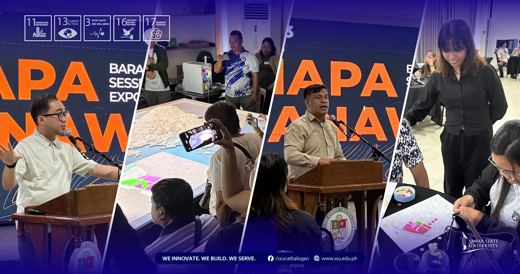
Lecture 1, led by Engr. Raven Tabiongan, SIGISDAC Director, together with Ar. Lhimarose Tanseco, introduced participants to core concepts in exposure and risk mapping. Moreover, Lecture 2, led by Mr. Sonny Boy Ellema Jr. and Mr. James Cortel, provided a guided demonstration on reading and interpreting hazard maps.
Hands-on workshops formed the gist of the training. In Activity 1, facilitator Ms. Ma. Yvonne Chiu guided barangays as they created their preliminary Barangay Risk Maps, identifying high-risk zones and vulnerable sectors. Activity 2, facilitated by Ms. Catherine Joie Carcellar, helped participants translate map insights into action points through the development of their Mini Barangay Action Plans.
The weeklong activity is being conducted in five batches:
- Batch 1 (December 1): Brgy. 1, 2, 3, 4, 5, 6, 7, 8, 9, 10, 11, 12
- Batch 2 (December 2): Brgy. 13, Bunuanan, Ibol, Guindapunan, Guinsorongan, Canlapwas, Mercedes, Muñoz, San Andres, San Pablo, Lagundi, Socorro
- Batch 3 (December 3): San Vicente, New Mahayag, Old Mahayag, Iguid, Silanga, Pupua, Payao, Maulong, Cabugawan, Estaka, San Roque
- Batch 4 (December 4): Cagutsan, Rama, Cinco, Mombon, Bagongon, Canhawan Guti, Buluan, Darahuway Guti, Darahuway Dacu, Basiao, Pangdan
- Batch 5 (December 5): Cagusipan, Totoringon, Lobo, Bangon, Cagutian, Albalate, Manguihay, Cagudalo, Palanyongon, Libas, Cawayan
Each participating barangay are expected to produce three key outputs, including a Barangay Exposure Map, Barangay Risk Map, and Mini Barangay Action Plan. These outputs are projected to support evidence-based decision-making in local DRRM planning and empower communities to take proactive steps toward resilience, safety, and sustainable development.
With Project TANAW continuing to expand its reach, SIGISDAC and the City LGU reaffirm their commitment to strengthening grassroots capacity for disaster preparedness one barangay at a time.