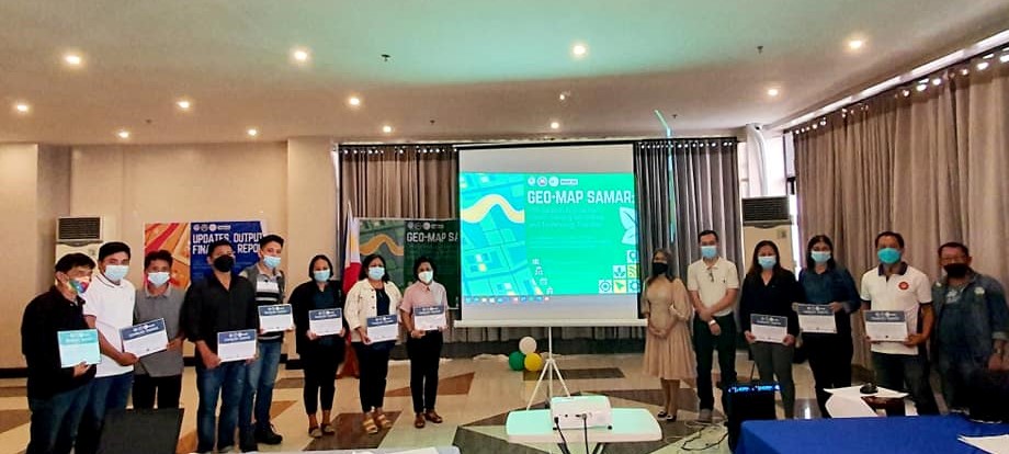
CATBALOGAN CITY- Samar State University (SSU) launched the GEO-MAP SAMAR web app dubbed as Geo-Map Samar: Web-based GIS and Real-time Data Center through the SSU-Center for Engineering, Science and Technology Innovation’s (SSU-CESTI) project tiled, Development of Geo-Reference Agricultural Mapping and Management System for Samar Island led by Engr. Mirador Labrador at Hotel De Fides, Tacloban City on December 13 (21).
The Geo-Map Samar provides information of crops, land use, and soil quality. It has features on inventory, crop acreage estimation, crop condition assessment, crop yielding forecasting, and soil mapping.
Designed and developed to be extra useful, it also has features for data entry, real-time monitoring system, and analysis of farmers (number and affiliation), crops (availability), soil composition, and crop suitability to promote smart and precise farming, thereby leading to a more productive and efficient yields throughout the crop season.
The launching was participated by partner LGUs which are expected to provide information for formulating knowledge-based/fact-based decisions for development as they input data entry to the system with data visualization, mapping, and other activities inputted by the SSU-CESTI.
“This system project aspires to monitor Sustainable Development Goal accomplishments relative to the Program, Projects, and Activities implemented by various sectors in the region and this is specifically helpful also to SSU as it serves as chair in monitoring three SDGs along social sector,” said Dr. Ronald L. Orale, Vice President for Research and Extension Services.
A Data Center under Research and Development Services promises to emerge out of this project. And SSU President, Dr. Marilyn D. Cardoso, expresses her gratitude to the Commission on Higher Education (CHED) for this project grant and her congratulations to the SSU-CESTI team headed by Engr. Labrador who magnifies SSU’s mantra to innovate, build, and serve.

